

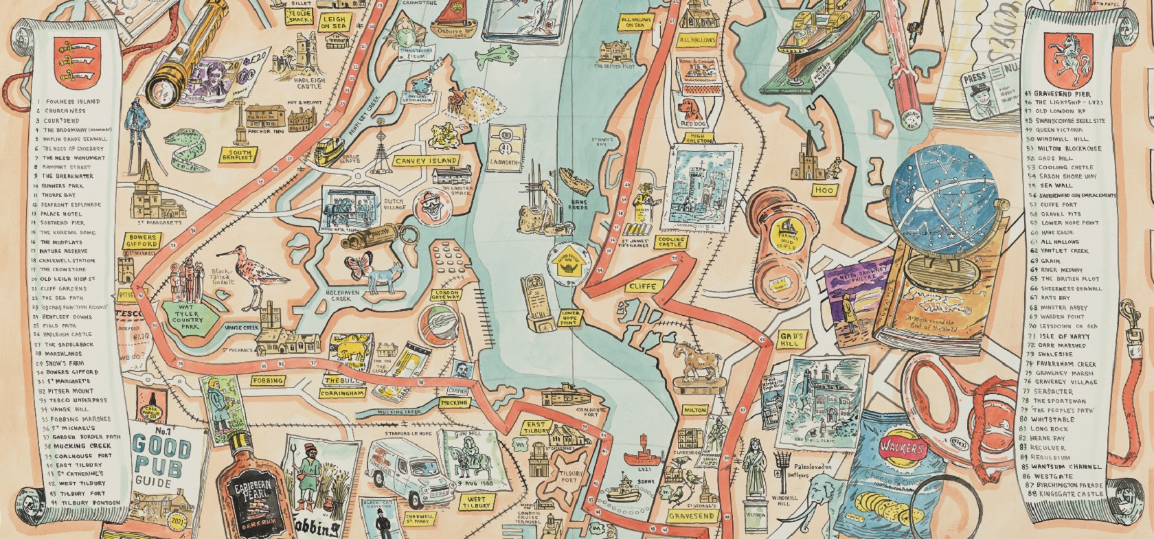
Thames Estuary Trail: an illustrated map
This illustrated map has been commissioned for
Estuary 2021
with support from the Thames Estuary Growth Board.
Created by the renowned Artist and Cartographer, Adam Dant the Thames Estuary Trail map beautifully illustrates the great stories, histories, pubs and landmarks to be found on the epic 107 mile walk around the Thames Estuary coastline from Shoeburyness to Margate as described by the writer, Tom King in his book Thames Estuary Trail: A walk round the end of the world (2021, Metal).
The map accompanies a second, limited edition of the book as part of Estuary 2021 to celebrate 20 years since the original text, including a new introduction and additional chapters that capture the changes and recent adventures to be found along the banks of one of the great rivers of the world.
We hope that both the book and this map will entice you to explore the region, its fabulous landscapes and deep history – as well as help you discover some great food, cafes, pubs and culture along the route.
Both the map and the book are available to order from our ONLINE SHOP - now open
And we’d love to hear about your experiences as you're out and about.
#ThamesEstuaryTrail
Artists
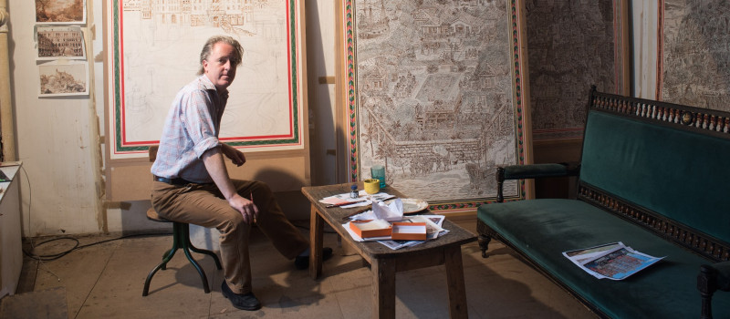
Adam Dant
Adam is an international renowned artist whose large-scale narrative drawings and prints can be found in the collections of the Victoria & Albert Museum, Tate, the Museum of Modern Art (MoMA) and the Musée d’Art Contemporain de Lyon as well as many leading private collections including that of HRH The Prince of Wales.